A Projection of Future Flood Magnitudes
The impact of climate change on our environment continues to be a topic of significant concern. A recent study has turned its focus to the potential future changes in flood magnitude across the Continental United States (CONUS). Utilizing a regression-based approach and data from the United States Geological Survey (USGS) streamgage, the study projects an increase in flood hazards across multiple emission scenarios, particularly for more extreme events.
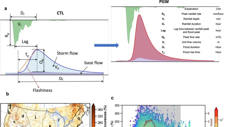
The potential impact of these changes varies across different subregions. The Northeast and Southeast, in particular, are expected to bear the brunt of the increase in flooding. The findings of the study underscore the urgency to incorporate climate change considerations into decisions related to water-related infrastructure design.
Regional Variations in Flood Hazards
The study notes that there is a significant variation in flood hazard across different subregions. This means that while some areas might experience a considerable increase in flooding, others may not see such a drastic change. It is important to understand and anticipate these variations to implement effective mitigation strategies.
Particularly, the Northeast and Southeast regions are projected to experience the largest increase in flooding. These areas are already prone to heavy rainfall and hurricanes, and the projected increase in flood magnitude poses a serious threat to both residential and commercial properties, as well as critical infrastructure.
Flooding in Mountain Catchments
Another area of focus in recent research has been the identification and change analysis of dominant flood types in mountain catchments. Mountain catchments are particularly vulnerable to changes in flood patterns due to their unique topography and climate conditions. The research aims to understand potential changes in the landscape as a result of different flood types. Understanding these changes can aid in landscape planning and help mitigate the effects of flooding in these areas.
The Need for Climate-Informed Infrastructure Planning
One of the key takeaways from these studies is the need for climate-informed infrastructure planning. As climate change continues to alter weather patterns, it is crucial that infrastructure development takes into account the projected increase in flood hazards. This is particularly important for water-related infrastructure, which is directly impacted by changes in flood patterns.
By adopting a proactive approach and incorporating climate change considerations into infrastructure design decisions, we can mitigate the impact of increased flooding. This also underscores the need for continued research into the impact of climate change on flood patterns, so as to provide accurate data for infrastructure planning.
Limitations of Climate-Informed Flood Projections
While these projections provide valuable insights, it’s important to note their limitations. The future is inherently uncertain, and while these models can provide an estimate based on current data and trends, they cannot account for all potential variables.
Nonetheless, these studies offer a valuable starting point for climate-informed planning and decision making. By understanding the potential changes in flood magnitude and taking proactive steps to mitigate their impact, we can better prepare for the challenges that climate change presents.